WHAT TO DO IN LAERDAL - 16 HIKING TRAILS YOU CANT MISS
It was just about time for me to write about my charming little hometown, Lærdal. Lærdal is a municipality in Vestland county of Norway. And I will write about all the good hikes that you can find there. Lærdal is located on the south side of the Sognefjord.
SJONOSI
Sjønosi is one of my favorite hikes in Lærdal. It is approximately 9km to the summit and back. The time I went, I got super lost. We brought a tent and sleeping bags, so it didn't matter when we arrived. But getting lost started to worry me a little because it was 11 pm, and it began to get dark. After walking the wrong way for way too long, we finally saw a "varde" ward (a pile of rocks so that people can find the right direction, and it can also be the summit). We put up the tent, took some night photography of the tent, the fjords, the steep mountains, and the bright night sky.
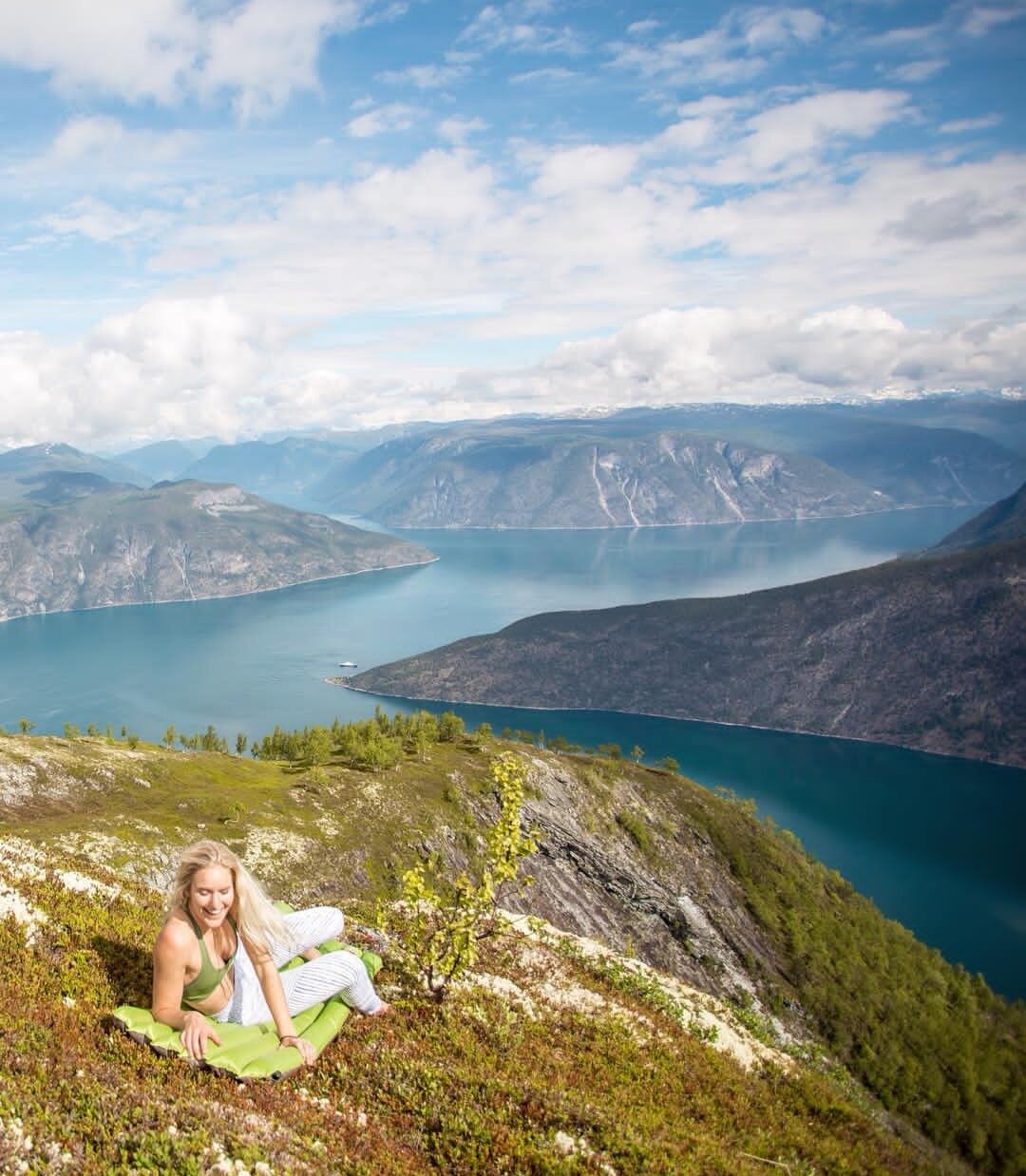
We woke up in the morning, witnessing a beautiful sunrise. (You can't really see the sunrise because of the mountains, but the light is definitely there) the mist and the low clouds in the early morning hours were so beautiful. Keep in mind that this is around 4-5 am. We took some pictures and took out the sleeping pads to admire the beautiful nature and take it all in. We stayed for hours, just enjoying the views.

How to get there:
You have to drive FV243 towards Erdal, drive up the narrow road (be careful, most of the road only fit one car, so if you are not used to driving on narrow streets and hairpin turns, go slow. There will be a parking spot next to a fence with a sign that says Glipstølen. (In Norway, we have a lot of old cabins looking houses on top of the mountains from the old days, because when they had to take their cows, goats, and sheep to the mountains so they could roam free and eat good, they went up there and stayed for days, making cheese and butter. We call that støl and seter). The hike is now very well marked, so it is no problem to get there. When I went the last time, there were no marks, so we had no idea. We just followed the trail, which can lead you to several places because of the wild animals.
When you get to Glipstølen, go towards the right when it's starting to flatten out. Follow the ridge on the right side. Make sure to look for the "varde" at the summit; that's when you know you have found Sjønosi. (Try to pronounce sjønosi)
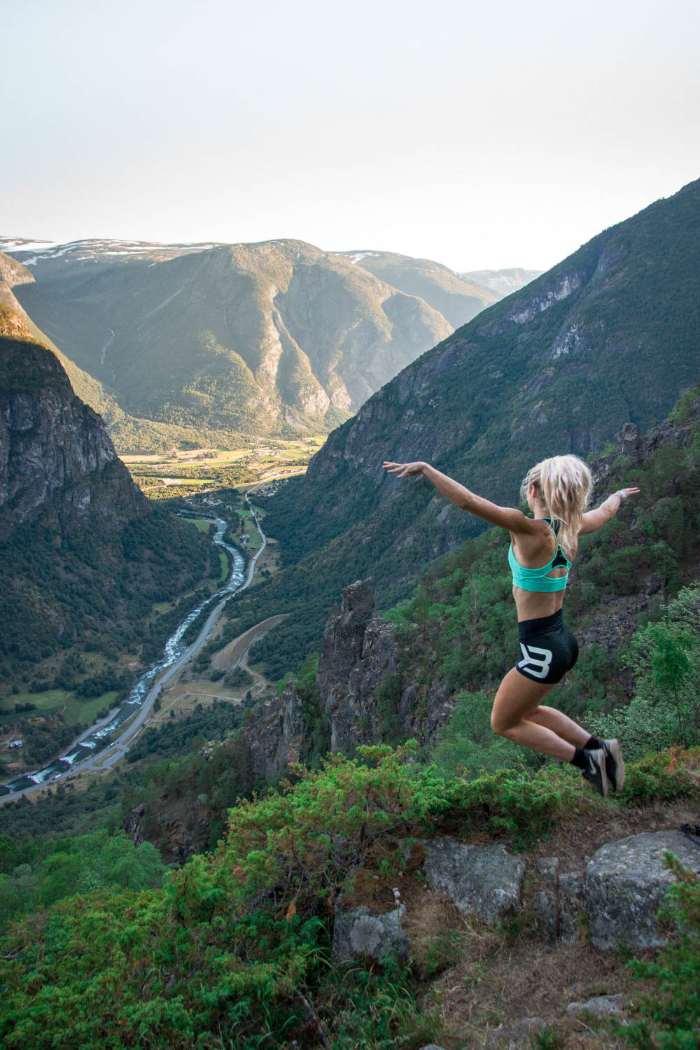
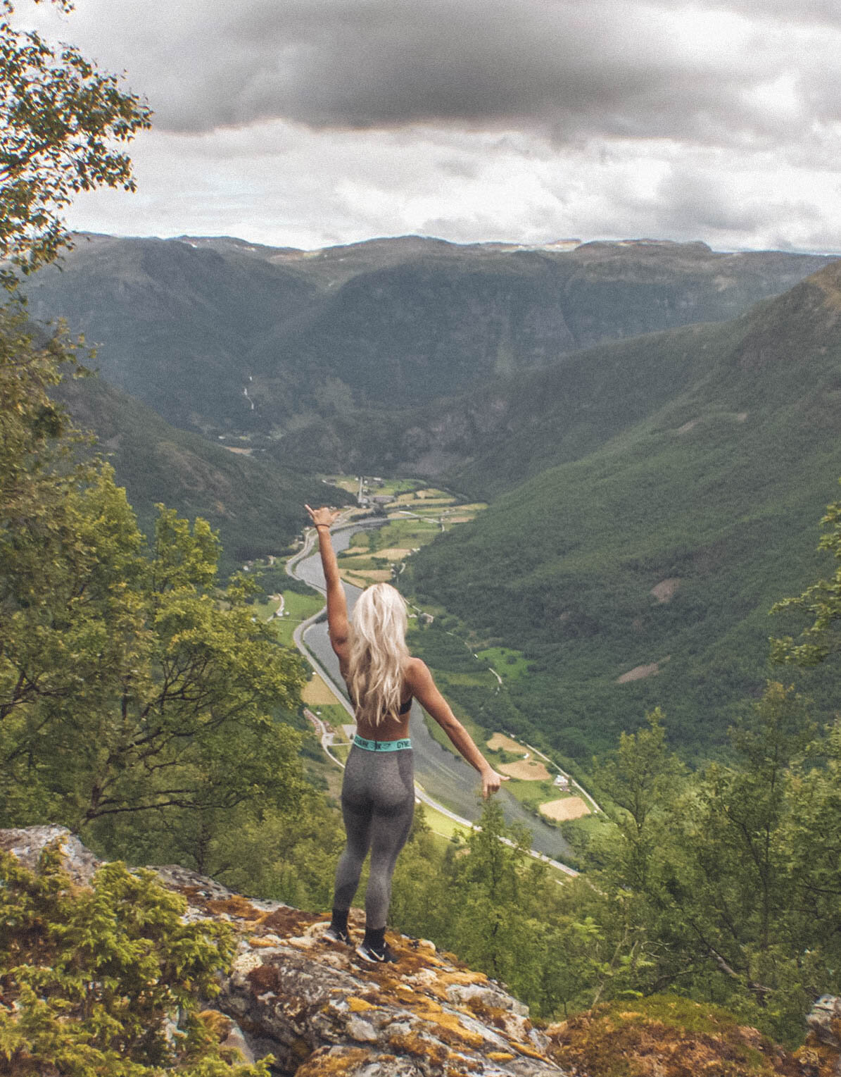
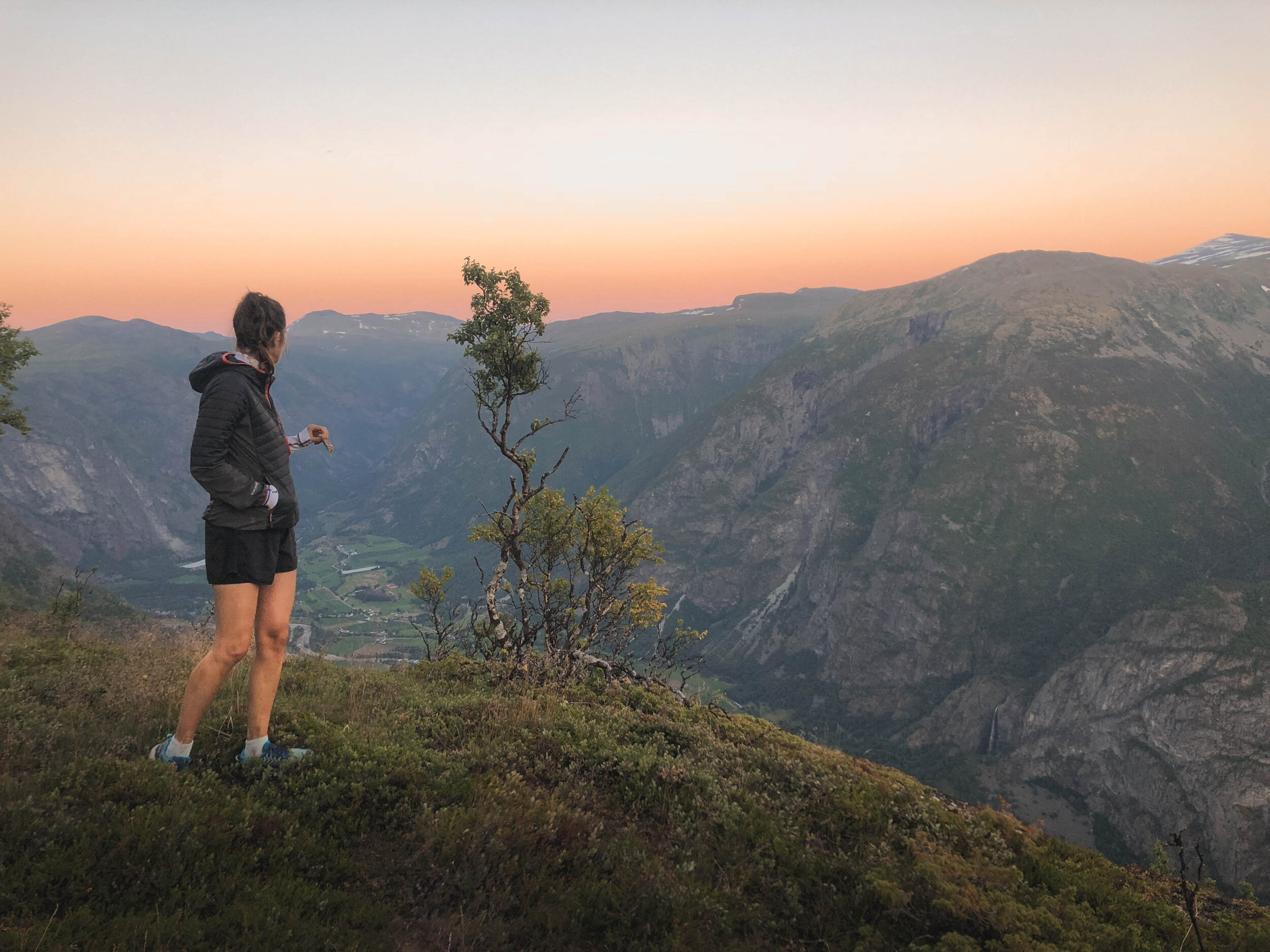
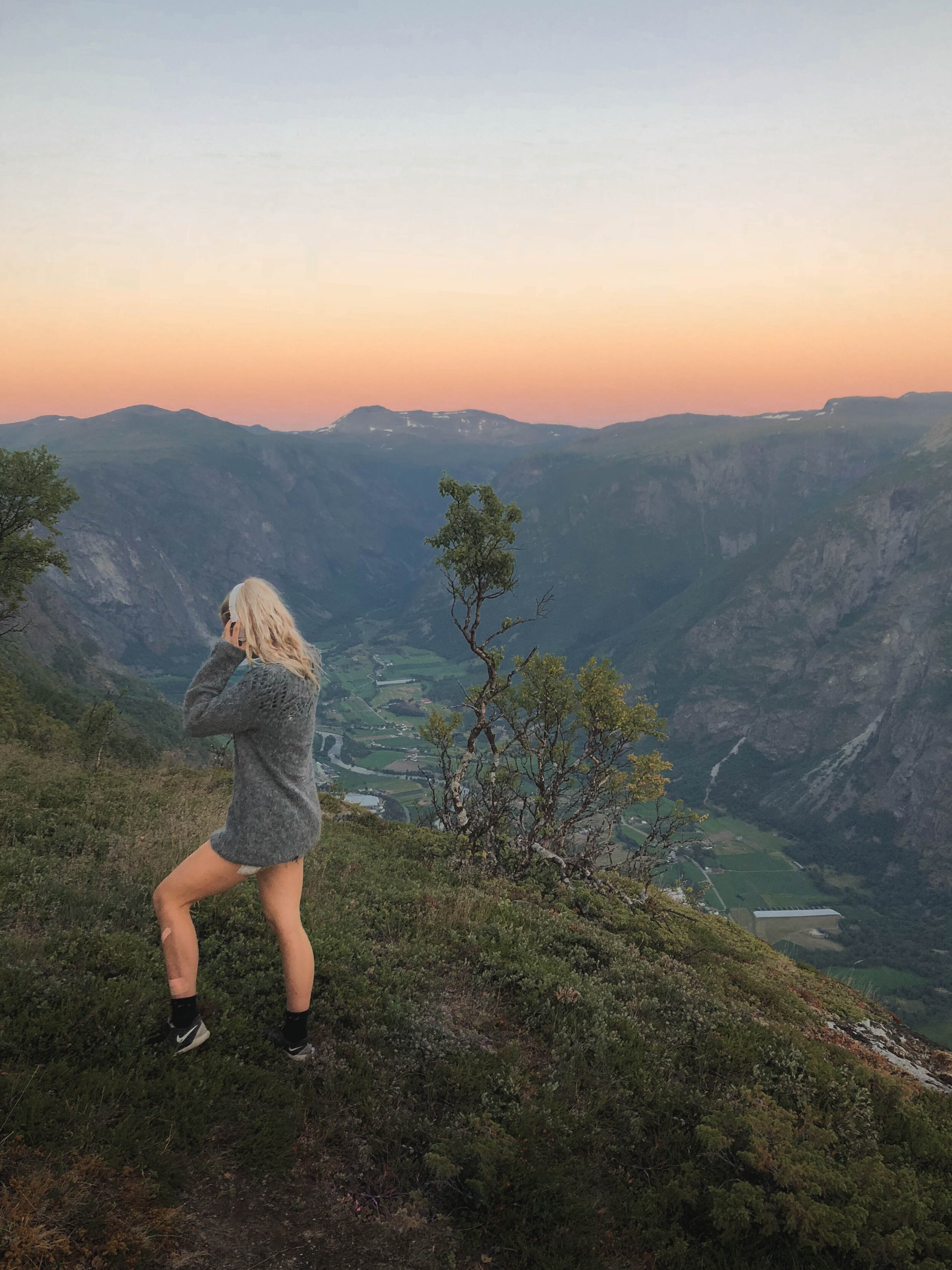
HOGNAASEN
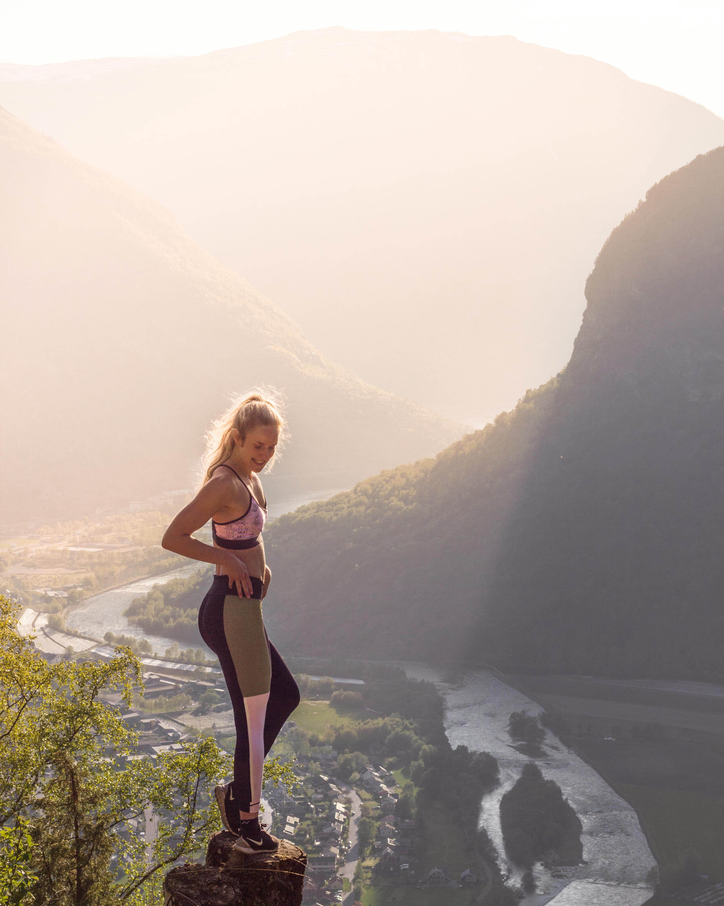
This hike is very steep but one of the better hikes in Lærdal. The view is incredible with the layers of mountains in front. There is a pond below the summit, which is cool to include in the pictures. You can also fish there, try to get some trout. Or, if you dare, jump in the water and feel refreshed. I think the best time to go is at night, before sunset. It is the most beautiful place in Lærdal for sunsets and if you can stand all the annoying flies, put up a tent and stay the night.

How to get there:
If you are in Lærdal, drive towards Aurlandsfjellet and Vindedal, stop at the ferry's harbor. You can see a trail behind a fence and a gate on the left side of the road. Make sure to close the gate when you enter, because of animals. You start walking, and it gets steep, but it is worth it. You can either walk up to Hognåsen and back down the same way or make a loop. You can start in Brattegjerde, hike up to Storehaugen, the keep going until you reach Hognåsen. Or you can do the opposite, start from the harbor, hike up to Hognåsen and follow the signs towards Storehaugen. If you make the loop, it can take up to 5 hours, and it's about 9,4km long. During the war, they used Hognåsen to hide.

STOREHAUGEN
My least favorite hike, but why do I put it here as one of the best hikes? Because not everyone thinks it is terrible. In fact, it has a stunning view, but it's not as open, and the view is not as great as the other hikes here. I have hiked there several times, so I have a love-hate relationship with that summit. They also have a trail running program called "Storehaugen Opp" how fast do you think you could reach the top? It took me 1 hour and 15 minutes to get up to Storehaugen (my best time so far), and the first time it took me about 3 hours. The fastest person running up to Storehaugen did it in 34 minutes.

How to get there:
You can either start at Sjukehusvegen 7 or in Brattegjerde by the intersection. You will follow the red paint marks, a steep climb, which will take you to Harasiglet. Some people stop here and return. It is a gorgeous hike and the most popular hike for locals. Harasiglet is 250 meters above sea level. You have to keep going if you want to go to Storehaugen. It's not that steep from Harasiglet to the halfway mark towards Storehaugen. The halfway is called Skirset and is 490 MSL. From Skirset to Vetlehaugen is relatively easy, and then from Vetlehaugen to Storehaugen, the trail gets very steep again. Storehaugen is at 908 MSL. The route up to Storehaugen is 3,7km.
HARADSIGLET
This hike has the same direction as Storehaugen. It's is one of the most famous treks in Lærdal. It's easy to get there, short and beautiful, so no surprise it is a popular hike.

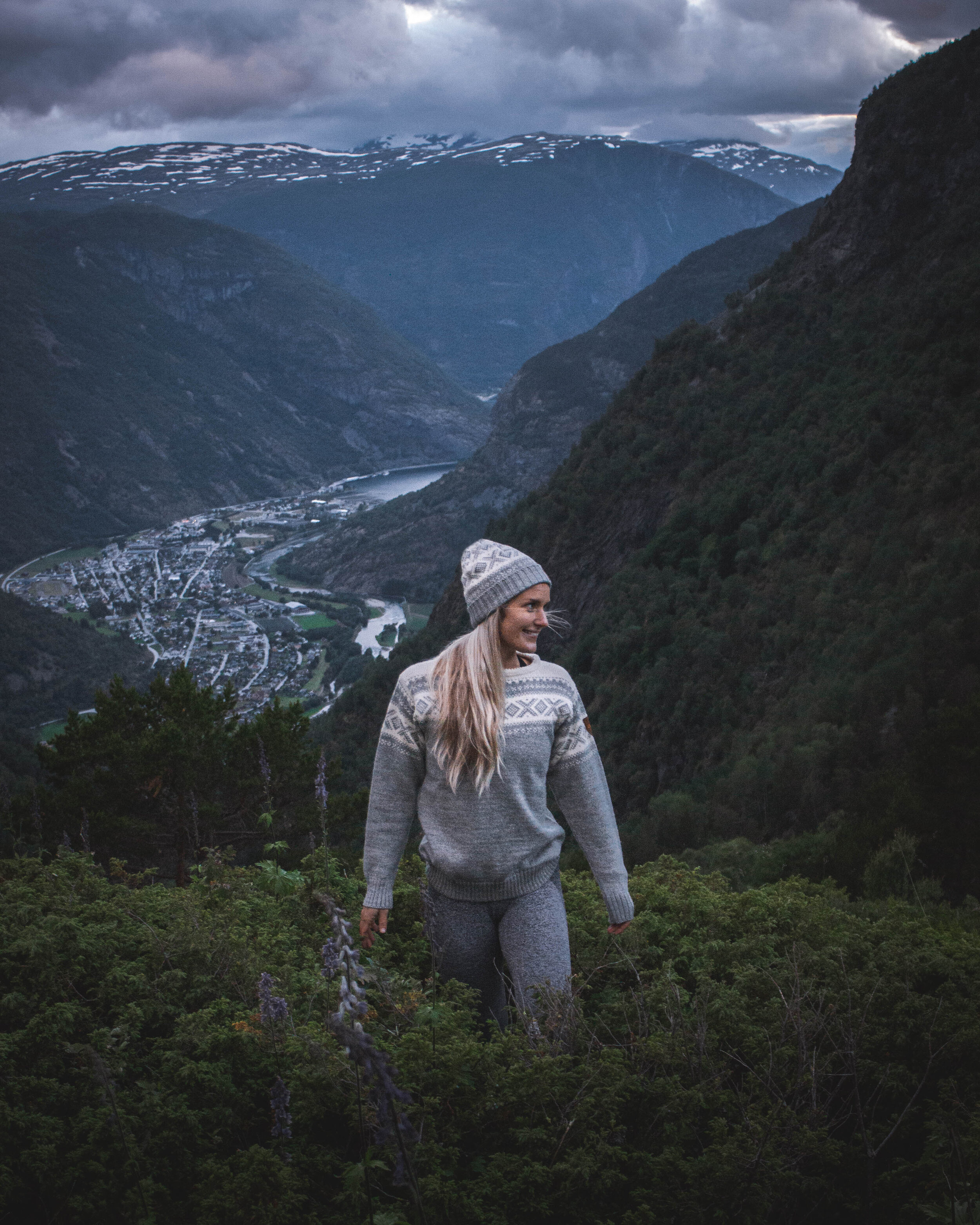
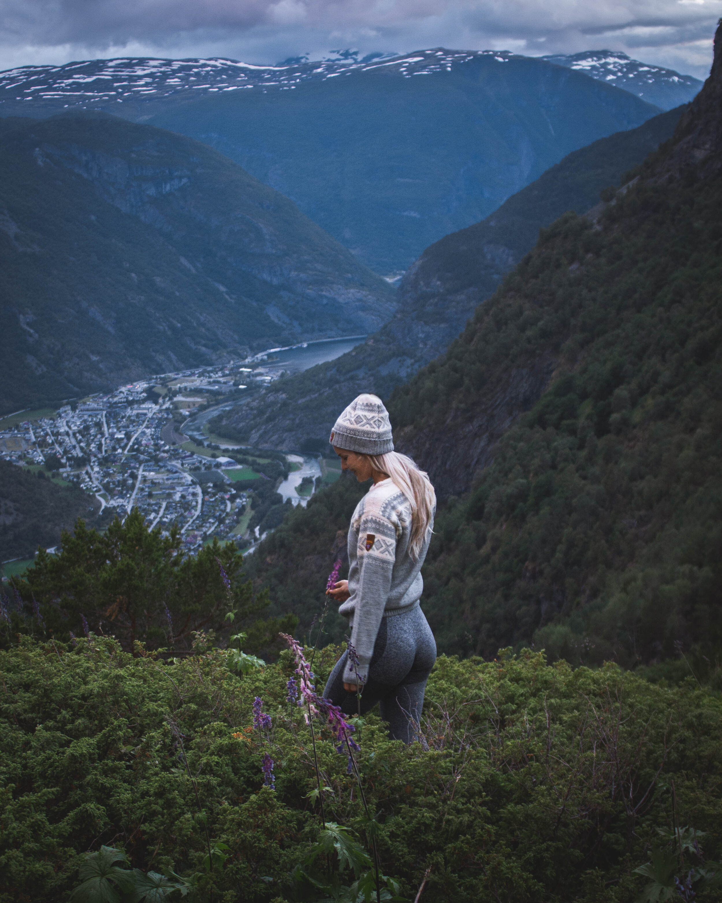
OFTEDALEN
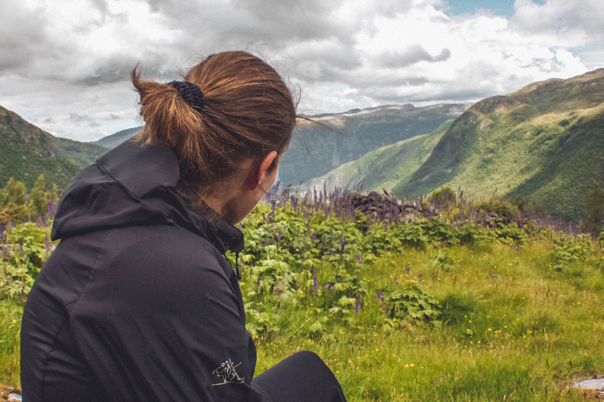
I like Oftedalen. It's a perfect hike for training or to experience the magnificent valley. I have been up there several times, but the first time I went by myself. And that was something extraordinary. Oftedalen is perfect for camping. Stay for a couple of hours, or embrace the views before you go back down to civilization. You can see part of the fjord, Storehaugen, Hognåsen and Sjønosi.

How to get there:
Drive towards the hospital. There will be a bridge on the right side of the hospital. Cross the bridge and enter the gate. Oftedalen is a popular hike. The trail is well marked, and it is impossible to get lost. You can only go one way, and that is up. You will most likely encounter some sheep on the way. They are used to people, so just let them be and continue your hike.
The first stop is called Nedre Vangen. Get some water and take some pictures before you head further. The next stop is called Øvre Vangen, which is also a cool place to stop and look at Lærdal village becoming smaller the higher you get. The third and last stop before Oftedalen is called Løberg. The locals go here for a daily walk, so you will probably meet many people here. You can decide if you want to check out the viewpoint or continue towards Oftedalen.
When you get to the bridge, there will be a sign telling you where to go. Take a left and continue up to "stølen" where you will see plenty of old cabins. They are still in use, so respect the owners and their animals. Go a little further, and take in all the beautiful views. If you take a right, you will get to Liastølen and Torstein.
LOBERG
Løberg is one of the most popular short hikes in Lærdal. Locals go here mostly for the health benefits. The viewpoint is cool, panorama view of Lærdal.
How to get there:
The same way as Oftedalen. Stop at the sign that says Løberg, and if you want to get to the viewpoint, take a right below the bench.

MJOLKEFLATEN
Mjølkeflaten is the easiest hike in Lærdal. It's an excellent trail, and it is impossible to get lost. You will most definitely meet people here, usually locals. You can go further and make it a loop. The panorama view over Lærdal is worth checking out. Lærdal also built a cabin there for everyone to use. It is always open.
How to get there:
Drive towards the Fodnes tunnel, park right before the bridge begins. At the end of the bridge, take a left and follow the signs towards Mjølkeflaten.

VETANOSI
If you want to challenge yourself, you can hike from Mjølkeflaten to the other side of the mountain, called Fodnes. You can either start from Fodnes or Lærdal. I started from Lærdal, and someone picked me up at Fodnes. But you can also hike to Vetanosi only. It is a beautiful place with views over the fjords, towards Erdal, Kaupanger, and Manheller. It is like a fjord panorama.

How to get there:
It's the same direction as Mjølkeflaten, but don't take the path to Mjølkeflaten. You will get problems. It is possible. I did it. But it's harder, trust me. Follow the shoreline towards Jektesanden. From there, it is a well-marked path towards Hedlerstegen. Hedlerstegen is very airy, but there are chains and ropes for your safety. Follow the path to Åsen. Have a break, get some food before you keep going. Then keep going up, don't go towards Skarvheimen. Vetanosi is about 1107 meters above sea level. If you want to go to Fodnes, you keep going towards Fagerset and follow the trail down to Fodnes. (You need a car to pick you up from Fodnes)

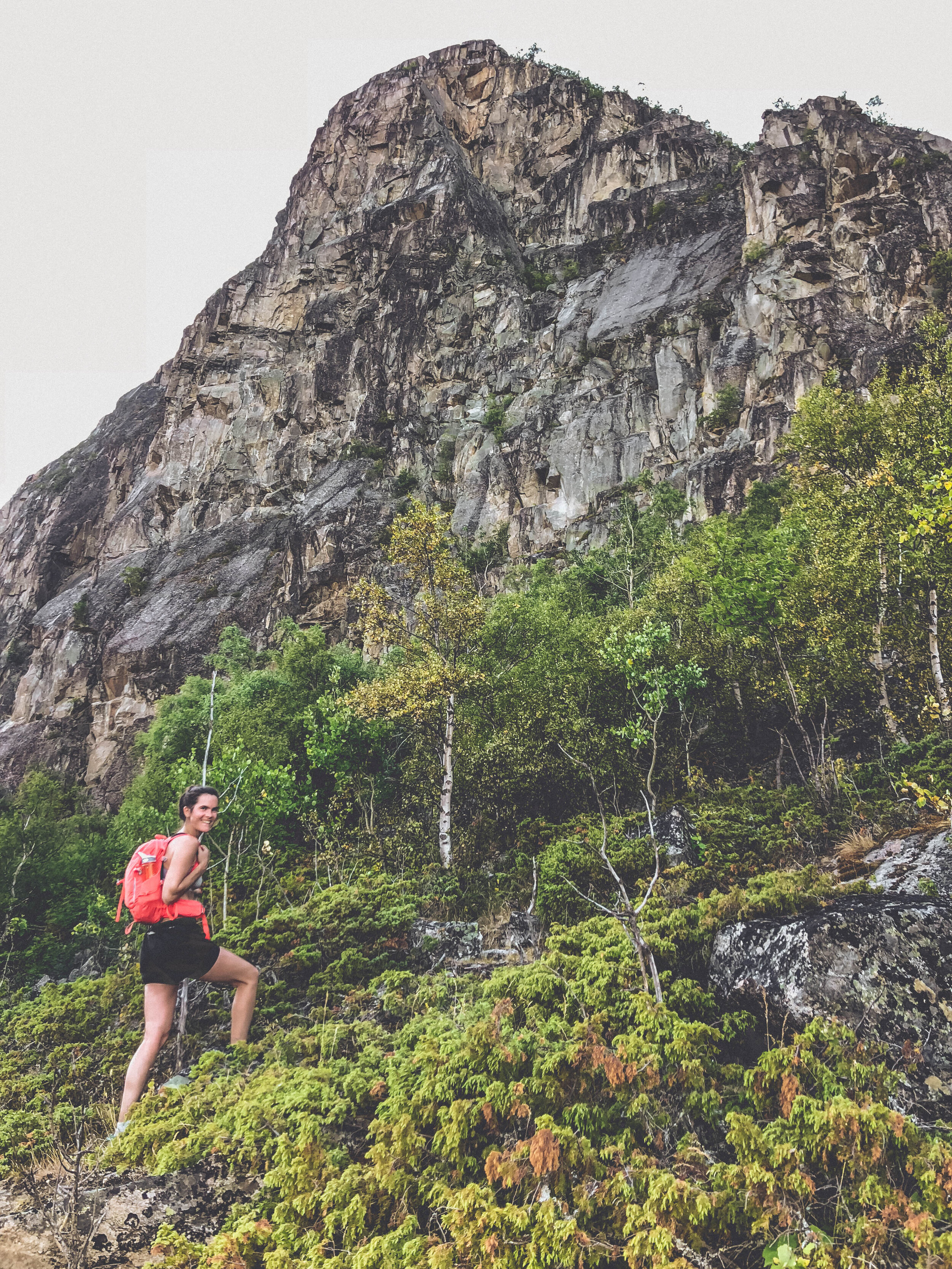
On the way up to Vetanosi
FAGERSET
Fagerset is a hike with the most amazing views. I like this place, and it's different from the ones on the other side of the mountain because the view is pure fjord and nature—no buildings in sight. You can see the ferries from Manheller to Fodnes going back and forth.
How to get there:
Park at Fodnes. Walk towards the houses, then take a slight left when you see the sign. You will walk towards Olavskjelda and Stegen. When you get to around 700m, go towards the left and follow the path towards Fagerset. If you want to go further, you can go to Vetanosi.

Fagerset
TORSTEIN
Torstein is my favorite hike of all time. I love this place, I love the walk itself, and the views are unbeatable. I have been here so many times, and it is a place I can keep hiking to without getting tired of it. It has a rock called "Torstein," which is famous for its location right on the cliff. It looks like it is going to fall anytime. So it is kind of sketchy standing on it. But I am sure it is 100% safe. The sunsets here are excellent; I would recommend staying here for a while if you have the time.

How to get there:
You start the hike in the same place as the Oftedalen hike. The only difference is that when you get up to the bridge, you don't cross the bridge towards Oftedalen, but you take a right towards Liastølen and Torstein. When you get to Liastølen, continue towards Torstein. When you get to about 1100m, take a right. Then walk towards the view, then take a left, and hike up towards the rock. There are signs now, so it is easy to find them. If you go late (during summer), you will most likely meet no-one.
VINDHELLAVEGEN
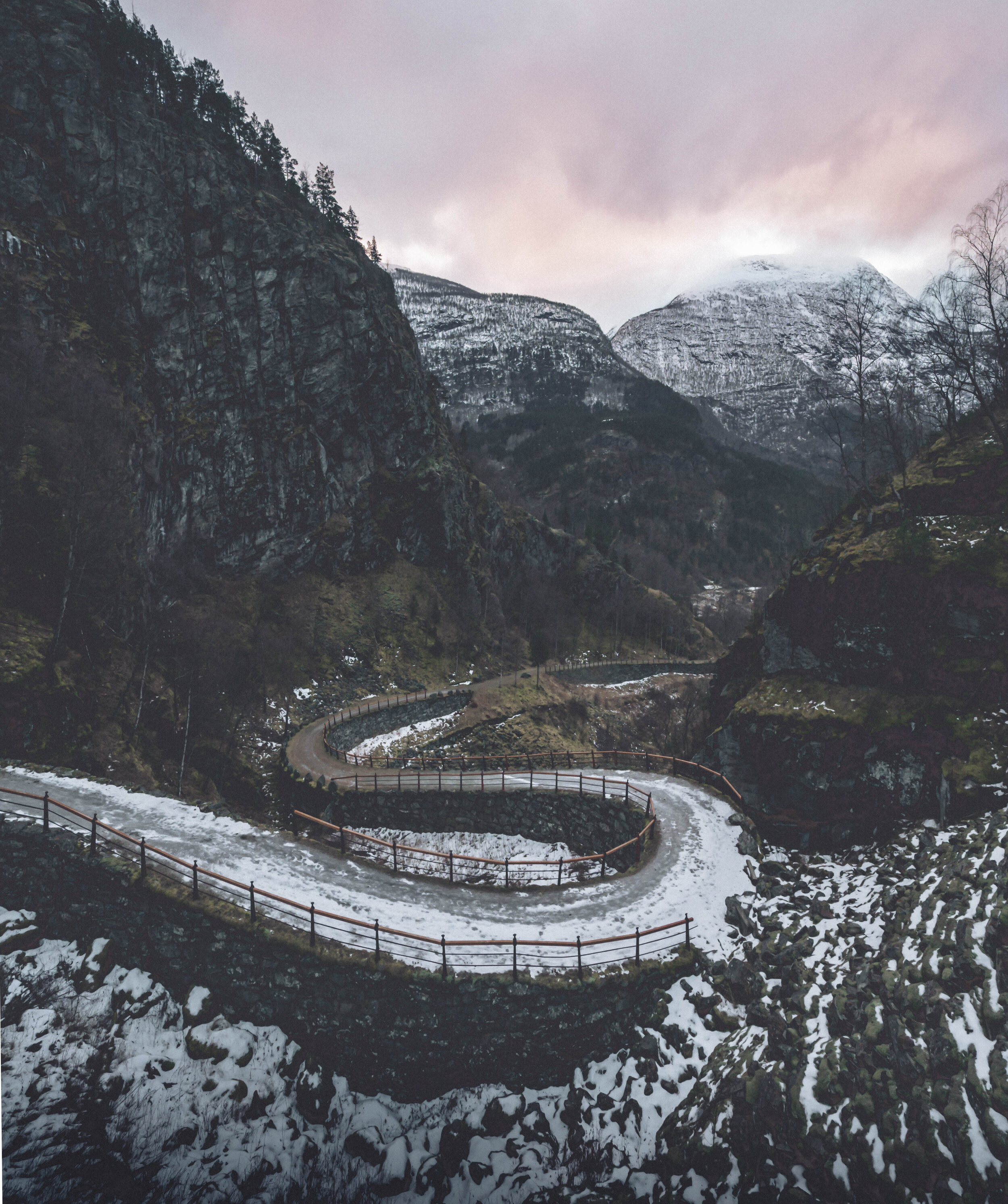
Vindhellavegen is one of the most popular spots for tourists, which is very understandable. Vindhellavegen was an unsuccessful road-building project, but that is most of the reason why this place is so famous. Vindhellavegen is the old kings' road. The views are amazing there, and the walk is relatively straightforward.
How to get there:
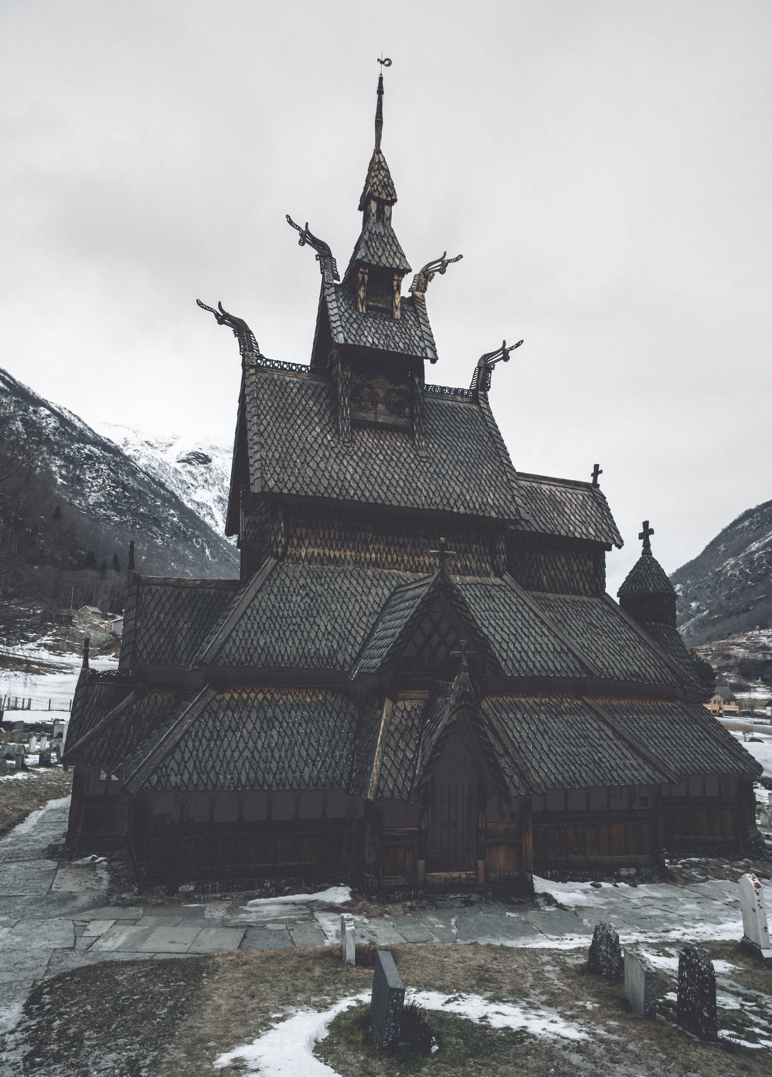
You can either start from the Borgund stave church, which I recommend because you can take pictures of the church and see the incredible architecture. There are signs where you should start the hike. I usually begin to walk by the gate left from the red church. Follow the signs.

OVRE LIASTOL
I wanted to figure out if any hikes were going higher up close to the old kings' road, and I found Øvre Liastøl. It's a beautiful hike, and the view is super.
How to get there:
It is the same direction as if you were going to Vindhellavegen. When you get to the famous Sverrestien, follow the path towards the Vindhellavegen, walk until you see a sign where it says Husumstølen and Øvre Liastøl.
You can also park at Rimskjold and walk up Vindhellavegen until you reach the sign.
NYBORG
Nyborg is one of my many favorites as well. Actually, my best friend Karoline has an støl there. (A cabin) It's a steep climb, but it is a very well-maintained path. You can actually walk to Hognåsen from Nyborg. It's also safe and perfect to camp here.
How to get there:
You have to drive towards Erdal. You can start 400 meters from Grindheim, cross the hanging bridge and start the hike from Mork.

Photo by Karoline Thyri.
KVITABERG
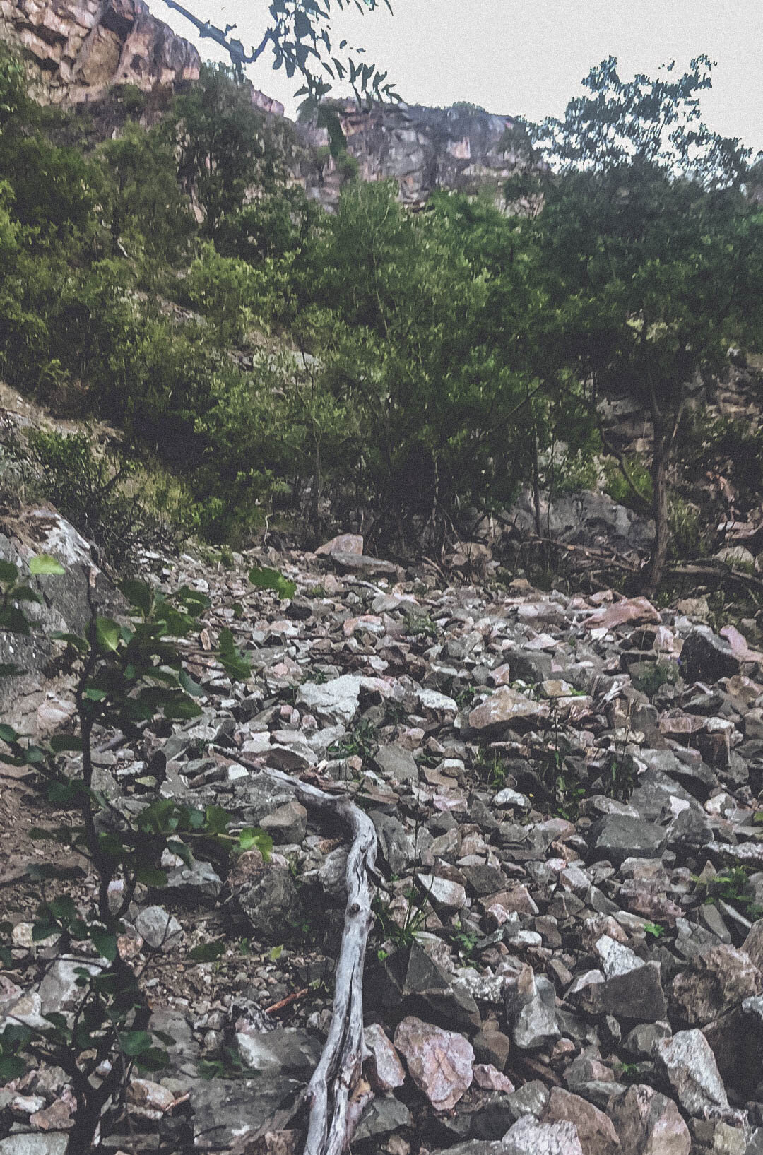
Where should I start? The most challenging and scary hike I have done in Lærdal. It has a beautiful view the whole way until you reach the top. But you have to cross challenging rockslides, find the path inside the forest without any direction marks. It was horrible, we got super lost, but then again, the locals told me that it's almost impossible to get lost there. So I don't know, maybe try it for yourself. But the views and the sunset were awe-inspiring, and it was all worth it when we arrived at the top. I have to mention that we got lost on the way down as well.
How to get there:
You drive up towards Tønjum. When you reach the bridge, there is an old road called Moldesia to the left. (The street is Fv271) take a left and park right there. You can see a trail, follow the path, take a right after the steep climb by the car. Then you will see a sign, take a left by the sign. When you get to the first lookout, you have to keep going—no signs or direction marks after the first lookout point.
STODNAFOSSEN
The hike to this waterfall is beautiful. It's a little steep but doable. Not very far. It's challenging to find the path towards the waterfall, but it is possible. The waterfall divides into two parts. It is possible to get to the second part. There is also a little pond there where you can swim but be careful. You can only swim there when the waterfall is not too strong. The water is freezing.
How to get there:
Drive towards the hospital. When you cross the bridge, you take a left. Drive until the dead end. Then you will see a trailhead right underneath the waterfall. It will say Lusahus and Åsen. When you think that you have come to the second part of the waterfall, you go straight, there is a path there, but it's hard to see it.
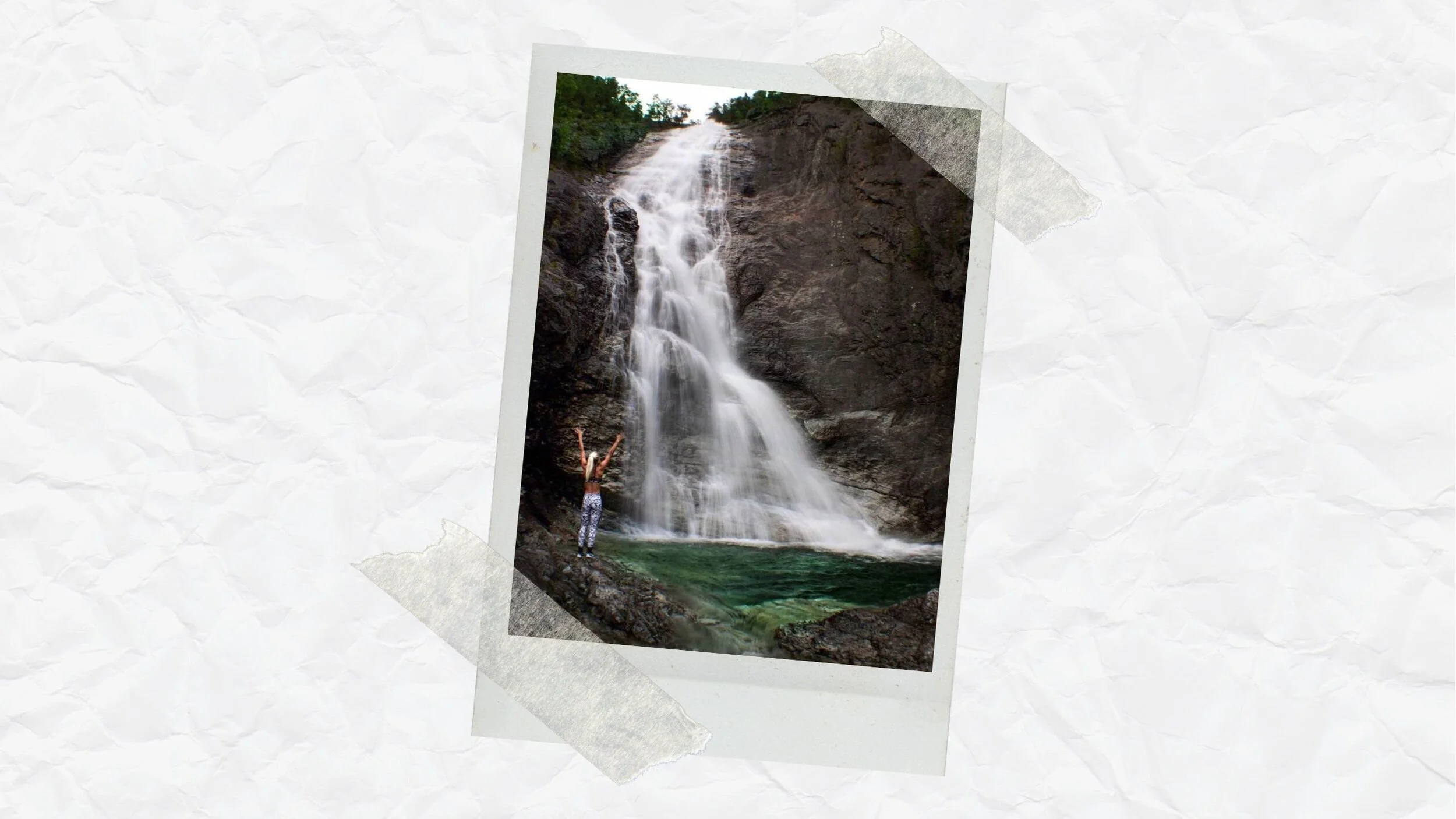
Stødnafossen
JUTLAMANNEN
Do you believe in trolls? Well, if you pass this rock-formation, I think you will start to believe in trolls. You can hike up on the right side of the troll. It's a steep incline, but not very far. It's a relatively easy hike. If you want to go further, you can keep hiking up to Hodndalen.
How to get there:
Park the car at the parking lot right underneath the troll (Jutlamannen), walk a little bit to the right and follow the signs.